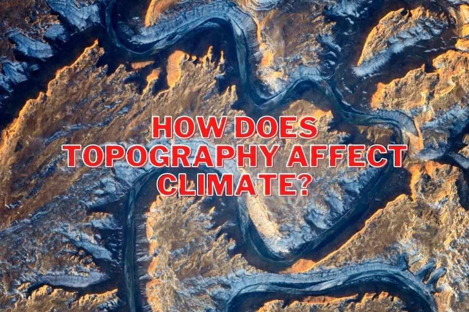
The Earth’s climate is a complex and interconnected system influenced by various factors, one of which is topography. Topography refers to the physical features of the Earth’s surface, including mountains, oceans, valleys, and other landforms. These features play a significant role in shaping weather patterns and climate variations across the globe. In this blog, we will delve into the intricate relationship between topography and climate change, highlighting how mountains, oceans, and other landforms impact the Earth’s climate.
Mountains: Climate Barriers and Rain Shadows
Mountains are prominent landforms that dramatically affect local and regional climates. When moist air masses encounter a mountain range, they are forced to ascend, and as the air rises, it cools. This cooling causes the air to release moisture in the form of precipitation. As a result, one side of the mountain range, typically the windward side, experiences more significant rainfall, while the opposite side, known as the leeward side or rain shadow, is much drier.
For example, the western coast of North America experiences a marine climate, with wet, mild winters, due to the influence of the Pacific Ocean. However, as moisture-laden air from the ocean encounters the Coast Ranges and the Sierra Nevada mountains, it rises and cools, leading to heavy rainfall on the western slopes and a rain shadow effect on the eastern side, where conditions are drier. This phenomenon is seen in many mountainous regions worldwide, such as the Andes in South America and the Himalayas in Asia.
Oceans: Climate Stabilizers
Oceans cover over 70% of the Earth’s surface and play a crucial role in regulating global climate. The immense heat capacity of seawater helps to moderate temperature variations, making coastal regions more temperate and stable in terms of temperature. The ocean also acts as a carbon sink, absorbing carbon dioxide from the atmosphere, which helps mitigate the effects of climate change.
Ocean currents, driven by wind patterns and differences in water temperature and salinity, have a significant impact on climate. For example, the Gulf Stream, a warm ocean current in the North Atlantic, influences the climate of Western Europe, giving it a milder climate than other regions at similar latitudes. Likewise, the upwelling of cold, nutrient-rich water along the western coasts of continents, such as the California Current off the west coast of North America, supports productive ecosystems and influences local climates.
Plains and Valleys: Climate Conduits
Low-lying areas like plains and valleys also have a role in shaping regional climates. These areas can channel air masses and create distinct microclimates. For instance, valleys often allow cold air to drain down from surrounding highlands, leading to temperature inversions and frost formation in the valleys. Conversely, plains can facilitate the movement of air masses, influencing wind patterns and precipitation distribution.
The Great Plains of North America, for example, experience a semi-arid climate due to their position in the rain shadow of the Rocky Mountains. They receive less moisture from the Pacific Ocean, leading to arid conditions, while the more easterly regions, influenced by the Gulf of Mexico, receive more moisture and support agriculture.
Conclusion
Topography and climate change are intimately intertwined, with mountains, oceans, and other landforms playing a pivotal role in shaping weather patterns and climate variations. Understanding this relationship is essential for predicting and mitigating the impacts of climate change. As global temperatures continue to rise, these interactions become even more crucial, as shifts in weather patterns and climate events can have far-reaching ecological, social, and economic consequences. Recognizing the influence of topography on climate change is one step toward managing the Earth’s fragile climate system and ensuring a sustainable future for our planet.


