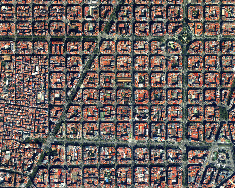
Firstly, urban planning has always been a complex and multifaceted field. Requiring professionals to make informed decisions about land use, infrastructure, and sustainable development. In recent years, the field of urban planning has witnessed a significant transformation thanks to the advent of 3D point clouds. Also, these digital representations of the urban environment, created through advanced scanning technologies, have revolutionized the way cities are planned, developed, and managed. So, in this blog, we’ll explore how 3D point clouds are changing the game in urban planning. By providing detailed, accurate representations of cityscapes.
Understanding 3D Point Clouds
Secondly, a 3D point cloud is a collection of data points in a three-dimensional coordinate system. Representing the external surfaces of an object or scene. In the context of urban planning, these data points capture the physical characteristics of buildings, streets, trees, and other elements that define a city’s landscape. In addition, 3D point clouds are generated using various technologies, including LiDAR (Light Detection and Ranging) and photogrammetry. These technologies allow for the precise measurement of distances and the creation of detailed, three-dimensional models of urban environments.
Benefits of 3D Point Clouds in Urban Planning
- Accurate Representation of Existing Conditions: 3D point clouds offer urban planners a highly accurate and detailed representation of the current state of a city. So, this level of precision allows for a comprehensive analysis of existing conditions. Which is essential for making informed decisions about urban development and revitalization projects. Planners can visualize existing buildings, infrastructure, and natural features, enabling them to identify potential areas for improvement.
- Enhanced Site Analysis: 3D point clouds facilitate in-depth site analysis by providing urban planners with a holistic view of a location. This helps identify issues related to topography, land use, and accessibility. Also, by having a more comprehensive understanding of the terrain, planners can design projects that are more sensitive to the environment and local communities.
- Virtual Reality (VR) Simulations: 3D point clouds can be used in conjunction with virtual reality to create immersive simulations of proposed urban developments. This allows stakeholders, including city officials, investors, and the public, to experience and understand a project before it’s built. VR simulations help in garnering support and making more informed decisions about the design and layout of urban areas.
- Sustainability and Resilience: The detailed information provided by 3D point clouds is invaluable for enhancing urban sustainability and resilience. Planners can use this data to optimize energy efficiency, manage resources more effectively, and plan for disaster resilience. For instance, understanding the sun and wind patterns within the city can help in the placement of renewable energy sources and green infrastructure.
- Efficient Infrastructure Planning: Urban planners can use 3D point clouds to optimize infrastructure planning and maintenance. The technology enables the accurate assessment of the condition of roads, bridges, and utilities. Furthermore, this data can be used to prioritize maintenance activities and allocate resources efficiently, resulting in cost savings and improved infrastructure reliability.
Challenges and Future Directions
While 3D point clouds offer numerous benefits to urban planning, they also come with challenges. Data acquisition and processing can be time-consuming and expensive, and there may be privacy concerns related to the collection of detailed 3D information.
As technology continues to advance, we can expect improvements in data acquisition and processing methods. Making 3D point clouds more accessible and cost-effective. Furthermore, machine learning and artificial intelligence can be leveraged to automate the interpretation of 3D data. Making it easier for planners to extract valuable insights.
Conclusion
The integration of 3D point clouds in urban planning has revolutionized the field by providing detailed, accurate representations of cityscapes. Furthermore, these digital models empower urban planners to make data-driven decisions, enhance site analysis, engage stakeholders through VR simulations. Promote sustainability, and optimize infrastructure planning. As technology continues to evolve, we can anticipate that 3D point clouds will play an increasingly pivotal role in shaping the cities of the future. Making them more efficient, sustainable, and resilient. Finally, urban planning is no longer confined to blueprints and paper maps. It has evolved into a dynamic and technologically advanced discipline with the help of 3D point clouds.


